Geography.
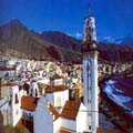
 This municipality is only 19 Km from the capital Santa Cruz de Tenerife, with a surface area of 49,53 Km 2, at an altitude of 5 m.
Located on the eastern part of the island, it is the most northern part of the Güímar valley, towards the north, the Canyon Hondo (barranco Hondo) divides it from El Rosario. Amid its summits it meets with several municipalities of the northern slopes: El Sauzal, La Matanza, La Victoria and Saint Ursula. Towards the south it limits with Arafo.